


Frequently Asked Questions
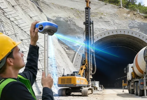
Q: Which industries require GIS technology?
A: Forestry Survey, Smart City Management, Emergency Response, Field data collection, Nspection, Positioning and Navigation, General Geographic Data Collection, where precision requirements are not high.
>>>>>>>>>>>>>>>>>>>>>>>>>>>>>>>>>>>>>>>>>>>>>>>>>>>>>>>>>>>>>>>>>>>>
Q: Do your rugged tablets support GNSS systems?
A: Yes, our rugged tablets are compatible with GNSS systems, making them ideal for surveying and mapping applications.
>>>>>>>>>>>>>>>>>>>>>>>>>>>>>>>>>>>>>>>>>>>>>>>>>>>>>>>>>>>>>>>>>>>>
Q: What's the Key Difference Between GIS Handhelds and RTK Receivers?
A: GIS handheld emphasizes data collection and attribute management;RTK equipment emphasizes high-precision positioning.
>>>>>>>>>>>>>>>>>>>>>>>>>>>>>>>>>>>>>>>>>>>>>>>>>>>>>>>>>>>>>>>>>>>>
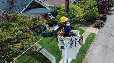
Q: In which industries can Windows tablets be used?
A: A: Automobile diagnosis, inspection, mechanical control, road testing, smart factories, railway tracks, etc.
>>>>>>>>>>>>>>>>>>>>>>>>>>>>>>>>>>>>>>>>>>>>>>>>>>>>>>>>>>>>>>>>>>>>
Q: Can high-precision positioning be achieved without a network?
A: In the absence of a network, PPP-B2b/PPP-HAS functions are supported, with a maximum accuracy of about 10cm.
>>>>>>>>>>>>>>>>>>>>>>>>>>>>>>>>>>>>>>>>>>>>>>>>>>>>>>>>>>>>>>>>>>>>
Q: What operating systems do your rugged tablets support?
A: Our tablets support a variety of operating systems, including Windows, Android, and Linux.
>>>>>>>>>>>>>>>>>>>>>>>>>>>>>>>>>>>>>>>>>>>>>>>>>>>>>>>>>>>>>>>>>>>>
Q: What software is included with the GIS handheld? Can other third-party software be used?
A: There are two softwares available, one is Runione Field, which focuses on GIS scenarios, and the other is X-survey, a professional surveying and mapping software.It also supports all software that can be downloaded from the Google Store.
>>>>>>>>>>>>>>>>>>>>>>>>>>>>>>>>>>>>>>>>>>>>>>>>>>>>>>>>>>>>>>>>>>>>
Q: Why is there no satellite signal on the newly purchased device?
A: Generally, the newly purchased device has not been initialized with the ephemeris, so the first time you receive satellites, you need to update the ephemeris, which will take a little longer to receive satellites.
>>>>>>>>>>>>>>>>>>>>>>>>>>>>>>>>>>>>>>>>>>>>>>>>>>>>>>>>>>>>>>>>>>>>
Q: Do Android devices support system upgrades?
A: Normally no, different Android systems require device adaptation.
>>>>>>>>>>>>>>>>>>>>>>>>>>>>>>>>>>>>>>>>>>>>>>>>>>>>>>>>>>>>>>>>>>>>
Q: What should I do if the device cannot be turned on?
A: If the device has not been used for a long time and the battery is exhausted, it needs to be charged for a long time to activate the battery.
>>>>>>>>>>>>>>>>>>>>>>>>>>>>>>>>>>>>>>>>>>>>>>>>>>>>>>>>>>>>>>>>>>>>
Q: Why do the coordinates measured by the GPS device I bought not match the coordinates I know?
A: GPS relies on GPS signals for positioning, and errors are inevitable. In actual work, different coordinate systems are often needed, and the coordinates obtained by GPS are the results of the WGS84 coordinate system, which involves the process of coordinate conversion.
>>>>>>>>>>>>>>>>>>>>>>>>>>>>>>>>>>>>>>>>>>>>>>>>>>>>>>>>>>>>>>>>>>>>