


Utilities & Network Assets
Make asset inventory, line patrol, dispatch, and record updates a closed loop: assets are findable, work is dispatchable, fixes are verifiable, and records stay current.
Applicable roles: Patrol inspector / Emergency repair crew / Asset manager / O&M supervisor / Regulator & audit

Pain point 1 (More stable) | Long patrols in weak-network areas, capture and follow-up are disrupted
Underground corridors, rural lines, and mountainous routes often have weak signal. Teams need a workflow that doesn't collapse when the network does.
Workflow 1 | Weak-network patrol and hazard reporting (Inspect + Measure)
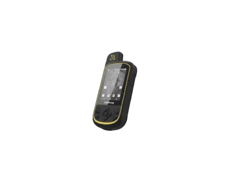
What: Patrol routes and report hazards with location + evidence + severity
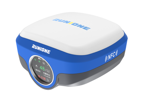
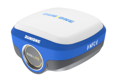
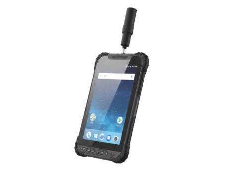
How: GIS handhelds keep capturing with independent GNSS even without public networks; for projects that require unified control or higher repeatability, add an RTK radio base (5W up to 30 km or 2W for smaller zones). RTK rovers use on-unit screens for quick checks and basic setup.
Deliverables: Hazard list / patrol record package (exportable, archivable)
Recommended kit 1 | Weak-network patrol continuity kit
GIS handheld (offline capture, centimeter-level where applicable) + RTK base (5W/2W radio as needed) + management software (aggregation, archive, export)
Pain point 2 (More efficient) | Asset records are inaccurate: finding the right asset takes longer than fixing it
Valves, manholes, poles, meters, and cabinets often have outdated positions and incomplete attributes. Crews waste time confirming 'which one' first.
Workflow 2 | Asset inventory and accurate record building (Measure + Inspect)
What: Inventory assets, capture positions, complete attributes, and attach evidence
How: Use GIS handhelds for the bulk of inventory (fast, lightweight, structured capture). Use RTK for benchmarks, critical nodes, and where the highest precision or repeatability is required; laser/visual staking can help when physical access is constrained.
Deliverables: Asset registry (position + attributes + evidence) / exportable inventory lists
Recommended kit 2 | Inventory efficiency kit
GIS handheld (centimeter-level positioning + structured attributes/evidence) + management software (registry, export) + RTK (benchmarks/critical nodes; on-unit screen quick start)
Pain point 3 (More controllable) | Fixes don't update records: tickets close but registries stay wrong
If updates aren't written back, the registry drifts. Repeated reporting and duplicated dispatch follow, and audits fail due to inconsistent data.
Workflow 3 | Work-order closure + registry update (Manage)
What: Dispatch, verify closure, and update the asset registry as a required step
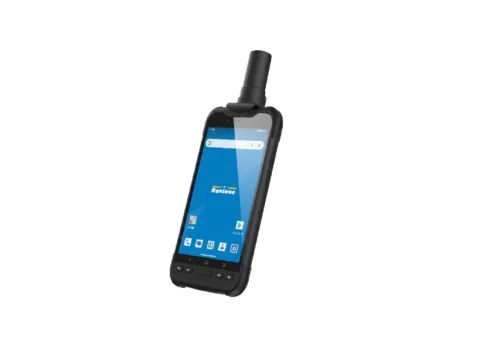
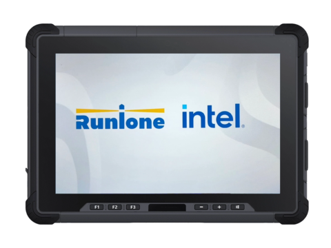
How: Management software makes 'update registry' a mandatory workflow node with audit trail; GIS handhelds capture verification evidence and updated attributes offline; portable Windows devices support on-site review and reporting; RTK is used for re-checks when needed.
Deliverables: Closure report / updated registry package (traceable) / KPI and audit materials
Recommended kit 3 | Closure + registry update kit
Management software (workflow + update + reporting) + portable Windows tablet/laptop (field review/output) + GIS handheld (verification capture) + RTK (re-checks when required)