GIS Data Collector
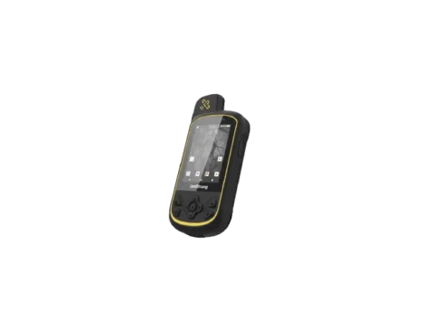
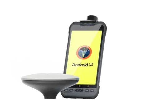
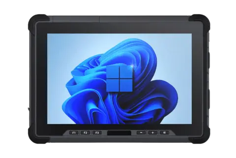
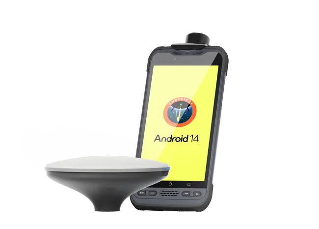
RDC60 Pro data collector is a comprehensive, precise, and technologically advanced solution for field data collection. Featuring a full‑constellation, multi‑band GNSS module with industrial‑grade hardware and centimeter‑level accuracy, it is designed for professionals across industries who require reliable geospatial data acquisition.
Professional GNSS Positioning
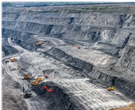
The RDC60 Pro integrates a full-mode professional GNSS module and ceramic antenna, delivering reliable RTK positioning with millimeter-level accuracy even in harsh mining environments. With 1,408 ultra-channels, it ensures fast fixes, stable data, and efficient, precise workflows.
Built for the Most Demanding Environments
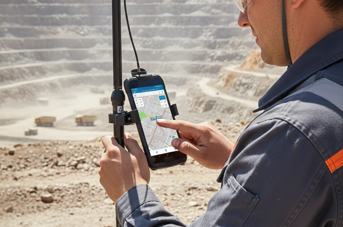
Designed for demanding field use, the RDC60 Pro delivers industrial-grade durability with practical performance. Its IP68 dust- and water-proof design and 8,000 mAh removable battery ensure stable, all-day operation in harsh mining conditions.

Certified Android Platform for Enterprise Apps
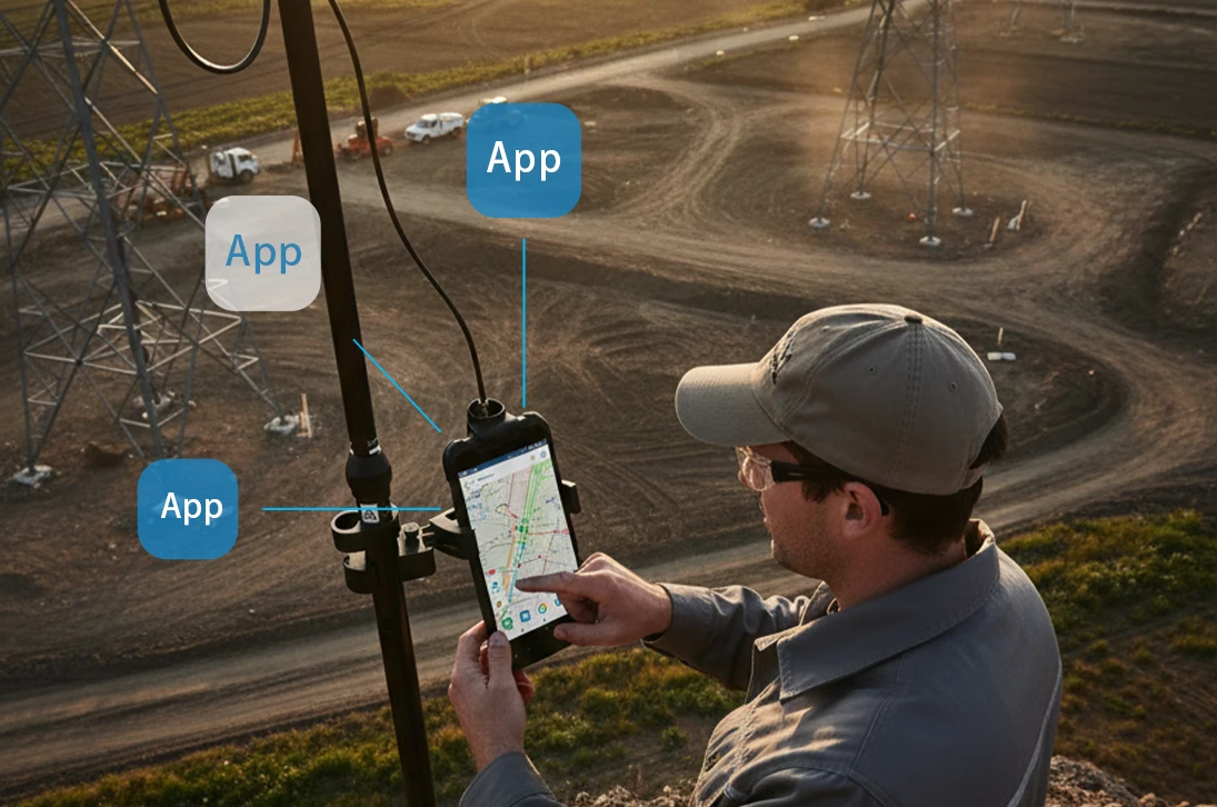
Built on a certified Android platform, RDC60 Pro enables mining enterprises to deploy and run their own applications with full reliability. It integrates seamlessly with professional GIS software and GNSS receivers, serving as a flexible field data hub tailored to specific workflows.
Real-Time Data Sync Between Field & Management
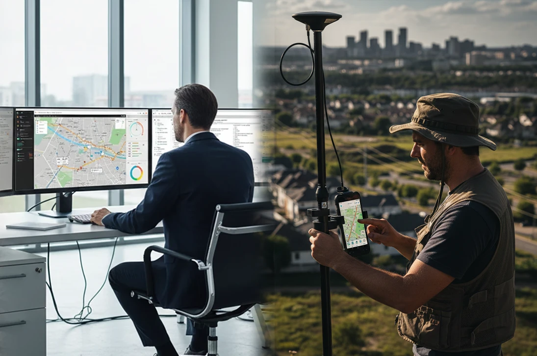
As a real-time data hub, the device connects GNSS, Wi-Fi, cellular, Bluetooth, and NFC to link mine construction crews with management teams. High-speed synchronization enables closed-loop workflows, breaks information silos, and supports faster, coordinated decision-making.
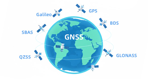
Equipped with a professional GNSS module supporting GPS, Galileo, GLONASS, BeiDou, QZSS, and SBAS, paired with a high-gain ceramic antenna. Optimized for strong signal reception, it ensures reliable, high-precision positioning across diverse environments.
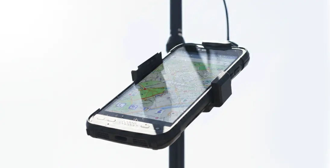
Equipped with an enhanced anti-reflective coating, this high-brightness touchscreen delivers exceptional clarity under direct sunlight. It ensures reliable operation and clear data visibility, guaranteeing optimal performance even in the brightest field environments.
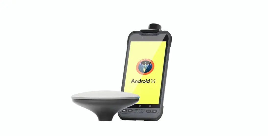
Powered by Android 14 with full GMS and CTS certification, this device guarantees seamless hardware-software integration and stability. It offers secure access to the Google Play ecosystem, providing a reliable platform for professional field workflows.
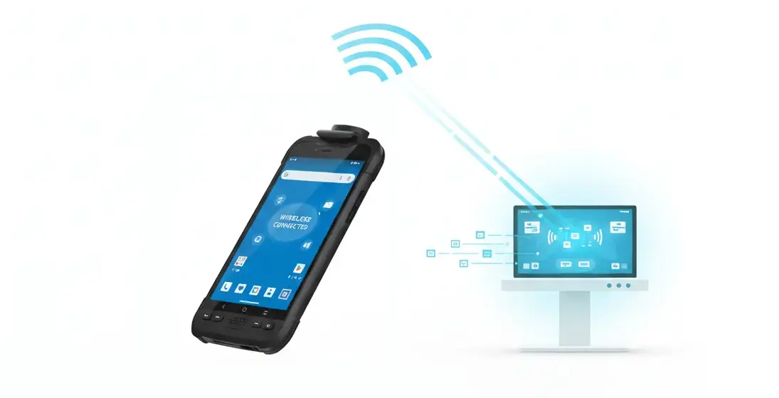
An integrated data link combining 4G LTE, GNSS, Wi-Fi, Bluetooth, and NFC ensures reliable, high-speed field-to-office synchronization, enabling efficient remote operations and real-time data workflows.
| Physical Characteristics | ||
| Size | 193.5 x 93 x 15 mm | |
| Weight | ≤390g | |
| LCD | 6.0”IPS 1080x 1920 FHD 550nits | |
| Camera | 8M FF | |
| 32M AF | ||
| Hardware | ||
| CPU | Qualcomm QCM4490 Octa-core | |
| OS | Android 14 GMS | |
| RAM +ROM | 8GB LPDDR4X + 128GB UFS2.2 | |
| Battery | 3.8V 8000mAh | |
| Communication | ||
| GNSS | A-GPS / GPS L1+L5 / GLONASS / Galileo / Beidou | |
| WiFi | IEEE 802.11 a/b/g/n/ac/ax ( 2.4 & 5GHz Wi-Fi6E ) | |
| Bluetooth | BT 5.2 BLE | |
| NFC | NFC 13.56MHz, work distance ≥ 3cm | |
| Cellular | GSM: 850 / 900/ 1800 / 1900 WCDMA:B1/B2/B5/B8 LTE-TDD:B38/39/40/41 LTE-FDD: B1/2/3/4/5/7/8/12/13/14/17/20/25/26/28/48/66/71 5G: FR1 N1/2/3/5/20/28/41/48/66/71/77/78/79 |
|
| High Precision Module | ||
| Accuracy | Single Point Positioning (RMS) Horizontal: 1.5 m Vertical: 2.5 m DGPS (RMS): Horizontal: 0.4 m Vertical: 0.8 m RTK : Horizontal: 0.8 cm + 1 ppm Vertical: 1.5 cm + 1 ppm |
|
| Reliability | ||
| Working temperature | -20℃~+60℃ | |
| Storage temperature | -40℃~+70℃ | |
| Humidity | 0-95% RH, non-condensing | |
| ESD | Contact 8KV,Air 12KV | |
| Water proof | IP68 | |
| Drop | 1.5 m to marble | |
Become Partner
CONTACT SALES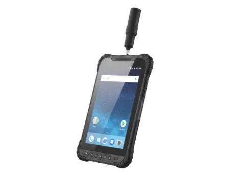
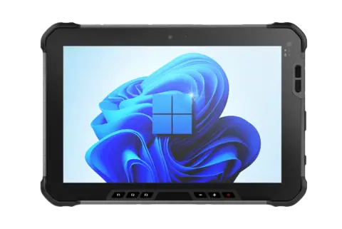
RDC80 is a high‑end, fully‑featured, and precise Android GIS tablet. Built with industrial‑grade hardware and delivering centimeter‑ to decimeter‑level positioning accuracy, it empowers efficient high‑precision data collection and mobile workflows across surveying, inspection, agriculture, and beyond.
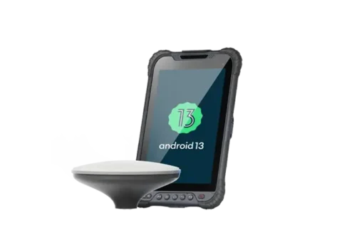
RDC80 Pro features a full‑mode professional‑grade positioning module and a GNSS ceramic antenna, ensuring reliable RTK positioning even in challenging environments and achieving millimeter‑level accuracy. With 1408 super channels for enhanced satellite signal processing, it delivers fast positioning alongside stable, reliable data, providing precise power for efficient workflows.
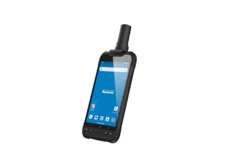
A comprehensive, precise, and technologically advanced field data collection solution. Equipped with a full-constellation, multi-band GNSS module capable of centimeter-level accuracy, it meets the demanding needs of GIS applications in complex environments, delivering stable and reliable core support for fieldwork.