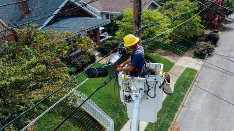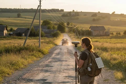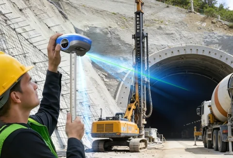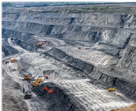
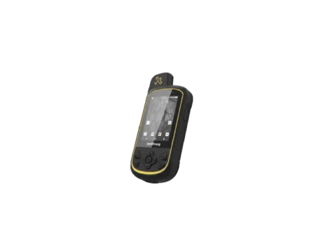
Runione GIS Data Collectors are designed for accurate and efficient field data capture. Rugged and reliable, they perform in challenging outdoor environments, helping professionals in surveying, mapping, utilities, and environmental management collect, process, and manage geospatial data with ease.
 New
New
 New
New
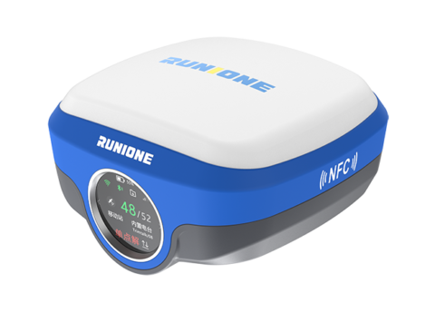
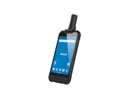
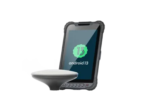
A comprehensive, precise, and technologically advanced field data collection solution. Equipped with a full-constellation, multi-band GNSS module capable of centimeter-level accuracy, it meets the demanding needs of GIS applications in complex environments, delivering stable and reliable core support for fieldwork.
 New
New
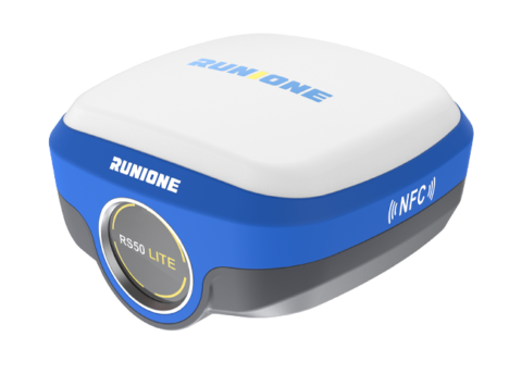
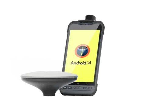
RDC60 Pro data collector is a comprehensive, precise, and technologically advanced solution for field data collection. Featuring a full‑constellation, multi‑band GNSS module with industrial‑grade hardware and centimeter‑level accuracy, it is designed for professionals across industries who require reliable geospatial data acquisition.
 New
New
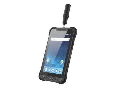
RDC80 is a high‑end, fully‑featured, and precise Android GIS tablet. Built with industrial‑grade hardware and delivering centimeter‑ to decimeter‑level positioning accuracy, it empowers efficient high‑precision data collection and mobile workflows across surveying, inspection, agriculture, and beyond.
 New
New
RDC80 Pro features a full‑mode professional‑grade positioning module and a GNSS ceramic antenna, ensuring reliable RTK positioning even in challenging environments and achieving millimeter‑level accuracy. With 1408 super channels for enhanced satellite signal processing, it delivers fast positioning alongside stable, reliable data, providing precise power for efficient workflows.
Please send us your request and we will reply to you within 24 hours.