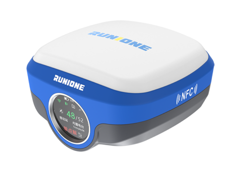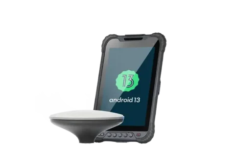
GIS Data Collector
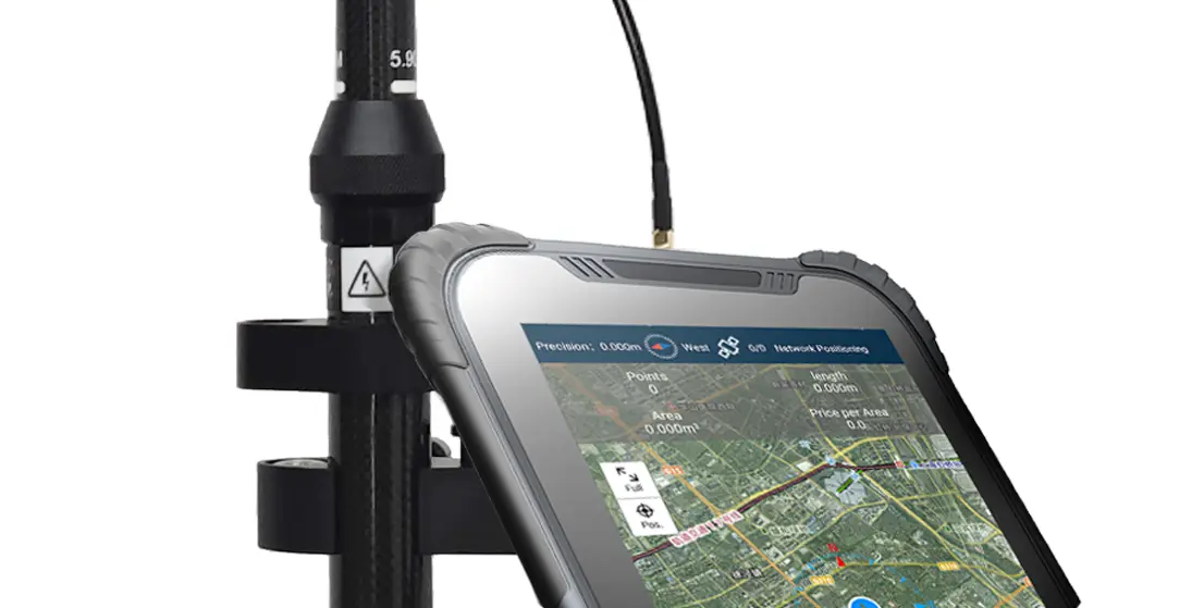
RDC80 Pro features a full‑mode professional‑grade positioning module and a GNSS ceramic antenna, ensuring reliable RTK positioning even in challenging environments and achieving millimeter‑level accuracy. With 1408 super channels for enhanced satellite signal processing, it delivers fast positioning alongside stable, reliable data, providing precise power for efficient workflows.
Millimeter-Level RTK Precision
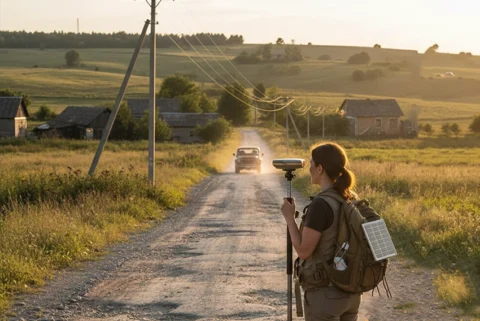
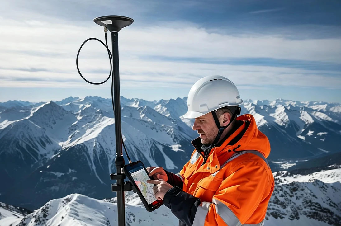
Integrating 1408 channels and a high-gain antenna, the RDC80 Pro ensures millimeter-level accuracy even in remote mountainous areas. Its rapid initialization and sustained data integrity provide a reliable, high-performance foundation for efficient and professional field workflows.
Built for the Field
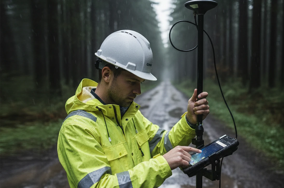
The RDC80 Pro is built around a purpose-built, industrial-grade housing. It combines an IP67-rated seal against dust and water with a high-capacity 8200mAh removable battery, engineered to power through the longest shifts. This foundation of rugged reliability ensures stable operation and unwavering performance in the most demanding conditions—from mountain passes to rainy valleys, it works when and where you need it.
Ready for Specialized Software
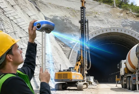
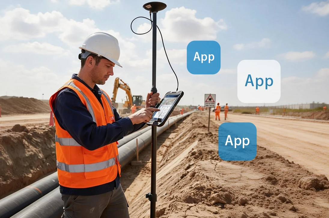
Based on Android OS, the RDC80 Pro ensures seamless compatibility with your essential GIS and specialized professional software, like pipeline inspection tools. It delivers core flexibility by functioning as either a standalone data collector or a GNSS array control center. This adaptability expands applications, boosts field efficiency, and future-proofs your work.
Real-Time Hub, Closed-Loop Decisions
Unifying GNSS, cellular, and Wi-Fi, the RDC80 Pro bridges remote mountains and forests with the office. This low-latency link ensures real-time data sync between field operators and backend teams, streamlining workflows in the most challenging terrains.

Integrating an 8-core CPU, 1408 channels, and a high-gain antenna, this system optimizes full-constellation signal integrity. It unifies massive computational power with precise GNSS tracking, delivering reliable, high-speed real-time positioning for the most demanding professional field tasks.
Engineered to conquer variable outdoor lighting, this 8-inch touchscreen delivers exceptionally high-luminance output and employs advanced optical bonding and anti-reflective coatings. This combination ensures sharp contrast, accurate color, and glare-free visibility in direct sunlight, turning challenging field conditions into a clear operational advantage.
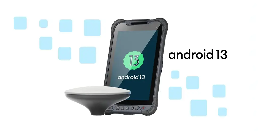
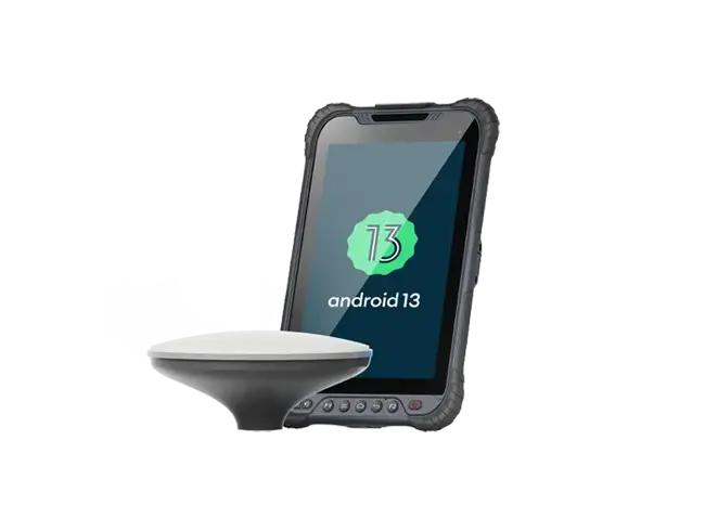
Equipped with GMS-certified Android 13.0, this device meets Google’s global compliance standards, ensuring seamless access to the official Google Play Store and services for worldwide deployment.
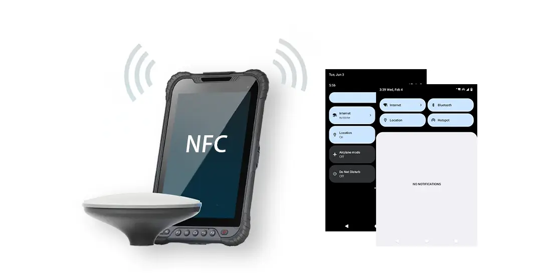
Built-in 4G LTE, GNSS, Wi-Fi, Bluetooth, and NFC provide a persistent data pipeline, seamlessly bridging the field and office to support live decision-making and unified operational management.
| Physical Characteristics | ||
| Size | 235×146×14.5 mm | |
| High precision antenna:Φ152*62.2mm | ||
| Weight | 610g | |
| High precision antenna:≤400g | ||
| LCD | 8”IPS 1280 x 800 HD 800nits | |
| Camera | Front camera 8MP, FF | |
| Rear camera 16MP, autofocus with dual LED flash | ||
| Hardware | ||
| CPU | Qualcomm QCM4290 8-core | |
| OS | Android13.0 | |
| RAM | 6GB LPDDR4X | |
| ROM | 128GB eMMC | |
| Battery | 3.8V 8200mAh | |
| Communication | ||
| GNSS (Built-in Positioning) |
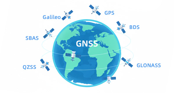
Beidou GPS GLONASS Galileo | |
| WiFi | 802.11 a/b/g/n/ac/e/i/r (Dual Band 2.4 & 5GHz) | |
| Bluetooth | BT 5.1@BLE | |
| NFC | NFC 13.56MHz, work distance≥3cm | |
| Network | TDD-LTE: B38/B39/B40/B41 | |
| FDD-LTE :B1/B2/B3/B4/B5/B7/B8/B12/B13/B17/B20/B25/B28(b)/B66 | ||
| WCDMA:B1/B2/B5/B8 | ||
| 850/900/1800/1900 | ||
| High Precision Module | ||
| Accuracy | Single Point Positioning (RMS) Horizontal: 1.5 m Vertical: 2.5 m DGPS (RMS): Horizontal: 0.4 m Vertical: 0.8 m RTK : Horizontal: 0.8 cm + 1 ppm Vertical: 1.5 cm + 1 ppm |
|
| Reliability | ||
| Working Temperature | -20℃~+60℃ | |
| Storage Temperature | -40℃~+70℃ | |
| Humidity | 0-95%RH, non-condensing | |
| ESD | Contact type 8KV, air type 10KV | |
| Water proof | IP67 | |
| Dorp | 1.2m (to marble) | |
Become Partner
CONTACT SALESSpec Sheet
DOWNLOAD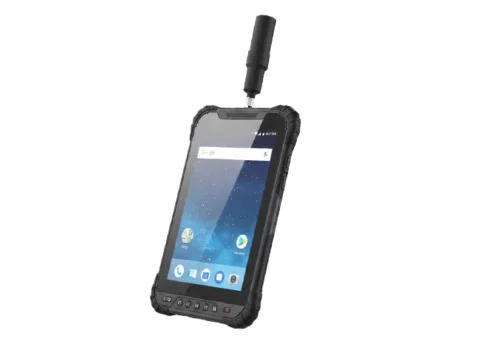
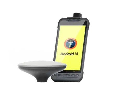
RDC80 is a high‑end, fully‑featured, and precise Android GIS tablet. Built with industrial‑grade hardware and delivering centimeter‑ to decimeter‑level positioning accuracy, it empowers efficient high‑precision data collection and mobile workflows across surveying, inspection, agriculture, and beyond.
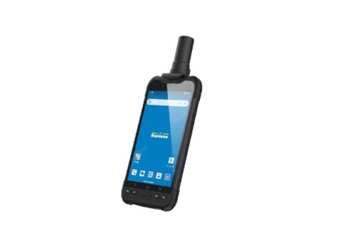
A comprehensive, precise, and technologically advanced field data collection solution. Equipped with a full-constellation, multi-band GNSS module capable of centimeter-level accuracy, it meets the demanding needs of GIS applications in complex environments, delivering stable and reliable core support for fieldwork.

Runione Survey is professional GNSS survey software designed for engineering measurement and construction stakeout. Built around stability, reliability, and efficiency, it enables surveyors to deliver consistent and trustworthy results in real-world construction environments.