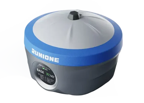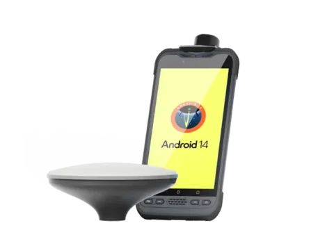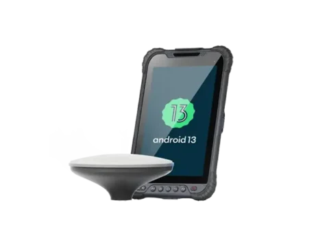
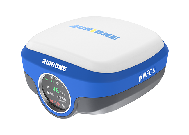
GNSS RTK Receiver
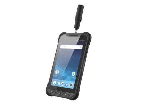
RS50 Smart RTK Receiver integrates high-precision GNSS, green laser measurement, and visual stakeout technologies for safe and efficient surveying.
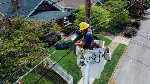
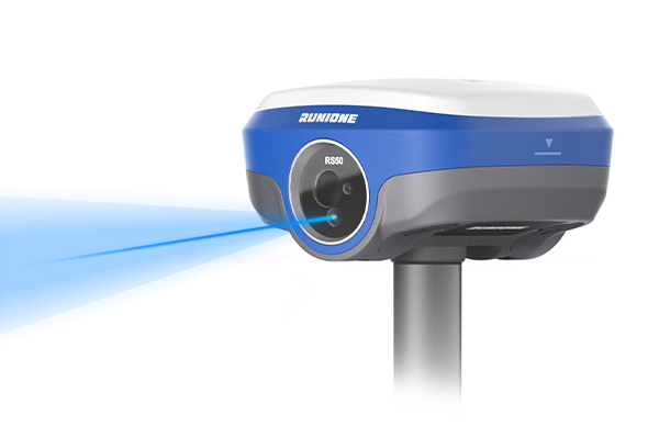
Stable, Safe Long-Distance Measurement
RS50 delivers stable and reliable laser measurement, maintaining consistent performance even in complex environments. The green laser allows clearer visibility and better signal reflection in challenging scenarios, providing a safe and efficient solution for measuring hazardous or hard-to-reach points.

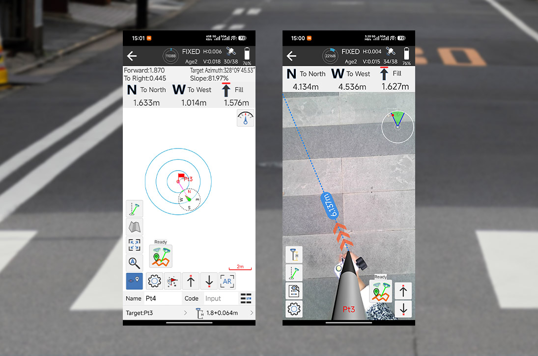
One-Step Stakeout
Target points are displayed directly in the real-scene view. Users can follow intuitive arrow guidance to complete stakeout in a single operation without repeated pole movement, significantly improving efficiency and accuracy.
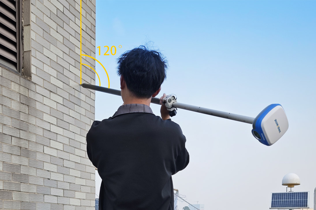
Accurate and Efficient Tilt Measurement
High-stability IMU technology enables precise tilt point collection without strict pole leveling, maintaining efficiency and reliability even in complex terrain or restricted environments.
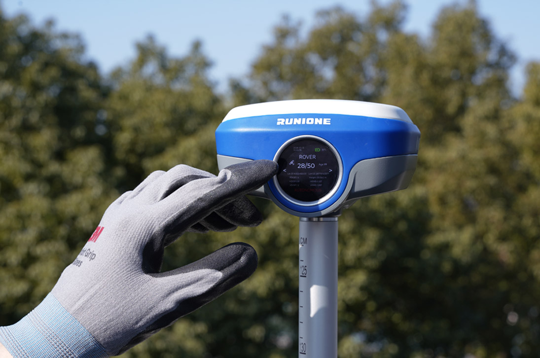
Intuitive and Efficient Field Operation
The integrated round touch display allows quick access to device status and key parameter settings, making operation more intuitive and efficient to meet the demands of intensive field work.
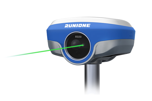
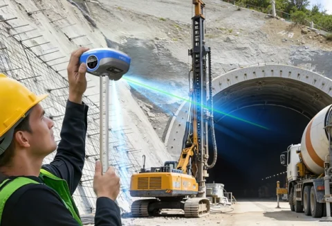
RS50 combines green laser measurement with high-precision heading information, enabling accurate measurement of points that are difficult to reach using conventional methods. It delivers approximately 3 cm accuracy within 10 meters and supports long-range measurement up to 100 meters, suitable for complex or high-risk field environments.
RS50 integrates a 5 MP high-definition auxiliary camera and leverages multi-spectral collaboration technology to achieve precise laser-assisted coordinate positioning, significantly enhancing reliability and stability of measurements in complex environments.
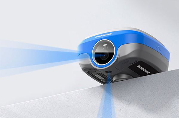
The bottom 5 MP AR camera and front 5 MP high-definition auxiliary camera work together to provide fast and precise real-scene stakeout, ensuring accurate alignment between measurement targets and the actual environment.

The built-in IMU supports automatic tilt compensation without manual initialization, maintaining approximately 3 cm measurement accuracy within a 120° tilt range, providing reliable stability for surveying in complex environments.
| Physical Characteristics | |
| Dimension | 130 x 130 x 75 mm |
| Weight | 880g |
| Button | 1 x Power |
| 1 x USB Type-C | Charging, data download |
| 1 x SIM Card Slot | 1 x Nano-SIM card slot |
| 1 x TNC | UHF antenna interface |
| 1 x 5-pin LEMO port | power supply,RS232,external radio communication port |
| Laser assisted | 5.0 MP |
| AR camera | 5.0 MP |
| Battery | Li-Ion 7.4V 6600mAh (48.84wh) ,Built-in |
| GNSS Performance | |
| Channels | 1408 |
| Signals tracking | GPS:L1C/A,L2C,L2P,L5 GLONASS:L1,L2 BDS:B1,B1C,B2,B2a,B2b,B3 GALILEO:E1,E5a,E5b,E6 QZSS:L1,L2,L5,L6 SBAS:WAAS,EGNOS,MSAS, GAGAN,SDCM |
| RTK surveying (baseline<30km) | H:8mm+1ppm RMS V:15mm+1ppm RMS |
| Laser measurement | 3 cm within range 10 m |
| Laser distance | 0.05m ~ 100m |
| Communication | |
| Internal UHF | 2W receiver and transmitter Typical 8km working distance |
| Wi-Fi | 802.11 a/b/g/n/ac ( 2.4 & 5GHz ) |
| Bluetooth | 5.2 Classical / BLE proprietary dual-mode |
| NFC | 13.56MHz 14443A |
| Cellular network | LTE-FDD: B1/ 3/ 5/ 7/ 8/ 20 LTE-TDD: B38/ 40/ 41 UMTS: B1/ 8 GSM: 900/ 1800 |
| Reliability | |
| Operating Temperature | – 30℃ to +70℃ |
| Storage Temperature | – 40℃ to +80℃ |
| Operating Humidity | 0% to 100% RH, non-condensing |
| Shock | MIL-STD-810H |
| Vibration | MIL-STD-810H |
| IP rating | IEC 60529-2013 IP67 |
Become Partner
CONTACT SALESSpec Sheet
DOWNLOAD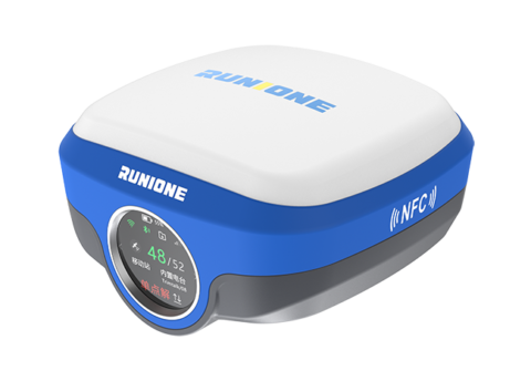

Runione Survey is professional GNSS survey software designed for engineering measurement and construction stakeout. Built around stability, reliability, and efficiency, it enables surveyors to deliver consistent and trustworthy results in real-world construction environments.