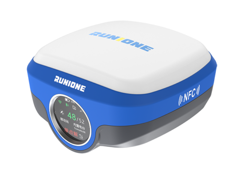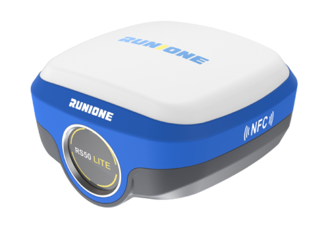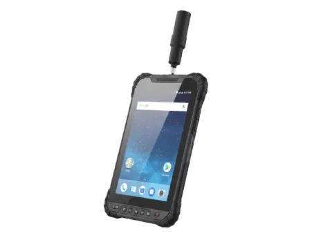
Software
Runione Survey is professional GNSS survey software designed for engineering measurement and construction stakeout. Built around stability, reliability, and efficiency, it enables surveyors to deliver consistent and trustworthy results in real-world construction environments.

Reliable Positioning Consistent Results
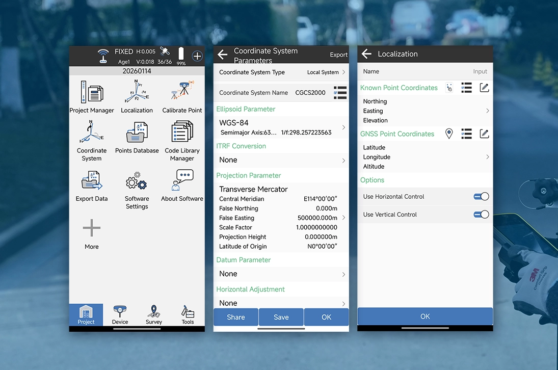
Runione Survey delivers a comprehensive coordinate and parameter management system, including datum transformation, horizontal and vertical corrections, and base station shift calibration, ensuring consistent and traceable results across multiple setups and complex coordinate environments.
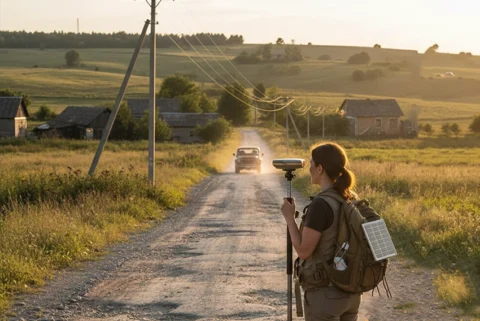
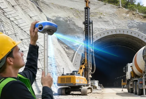
One Workflow From Field to Stakeout
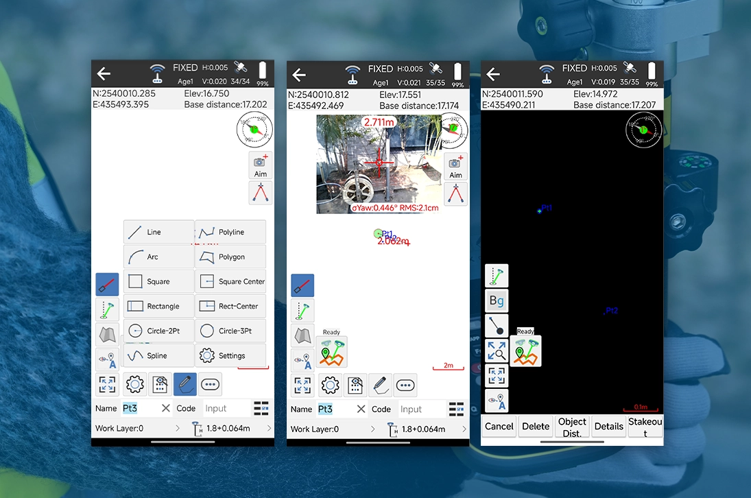
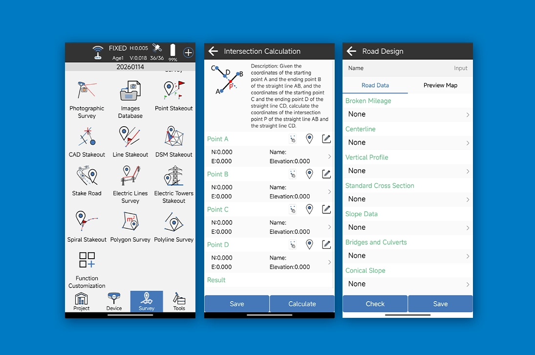
From project setup and instrument connection to field measurement and stakeout, Runione Survey integrates essential tasks into a unified workflow. Core functions such as point measurement, control points, CAD stakeout, and road stakeout work seamlessly together to improve efficiency.
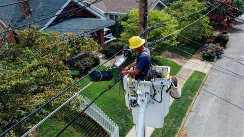
Designed for Real Construction Scenarios
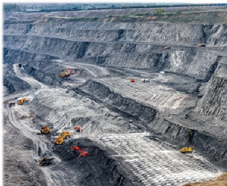
The software supports real-world applications including roads, site grading, power lines, and photovoltaic projects. Clear guidance and real-time deviation feedback enable confident operation in complex construction environments.
Professional Tools Clear Interface
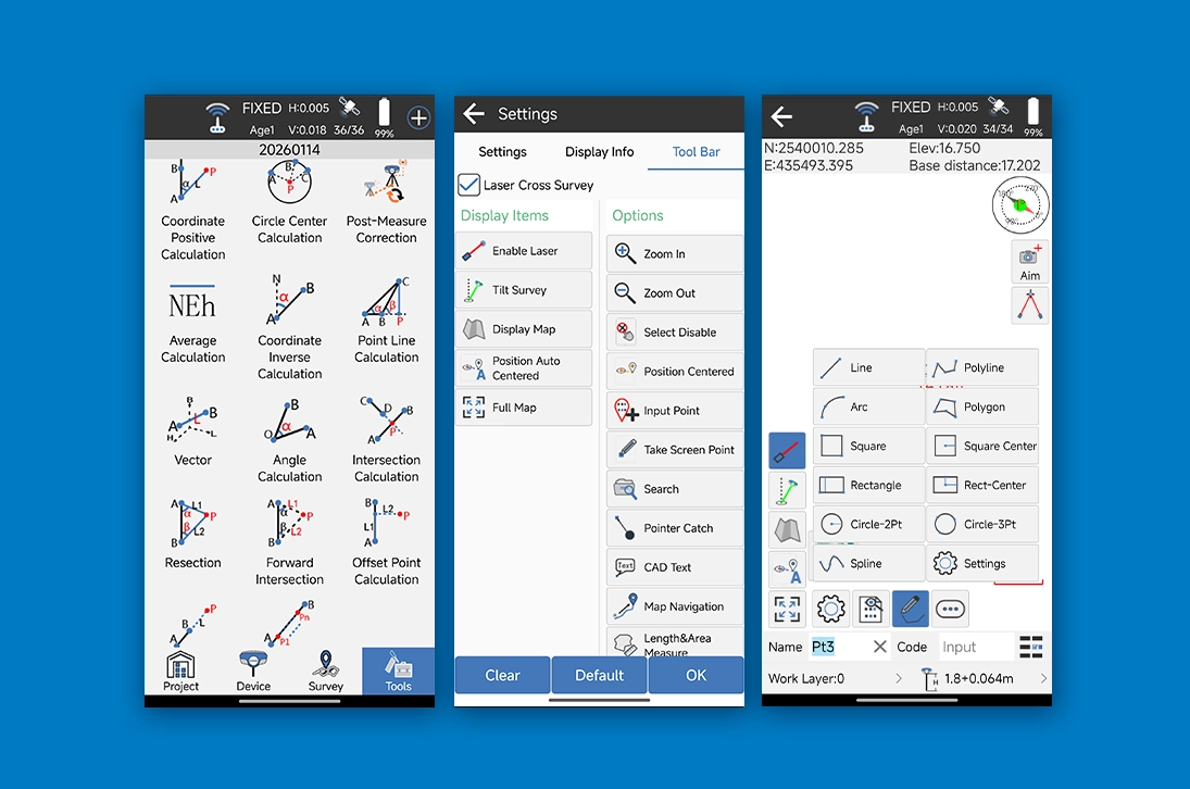
With a clean and intuitive interface, Runione Survey allows flexible customization. Frequently used tools are always within reach, while coding libraries, layer management, and automatic mapping improve field efficiency and data clarity.
Become Partner
CONTACT SALES